|
Geomorphology |
||||
|
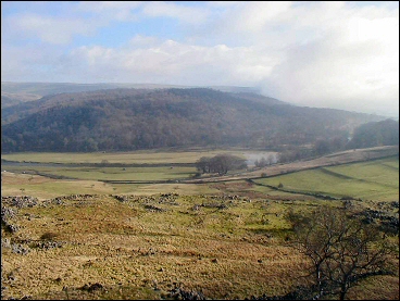
The research area covers the western side of Upper Wharfedale, from around 180 m to 380 m above sea level. It lies within the Yorkshire Dales National Park, in an area of internationally important glaciokarst landscape. |
||||
|
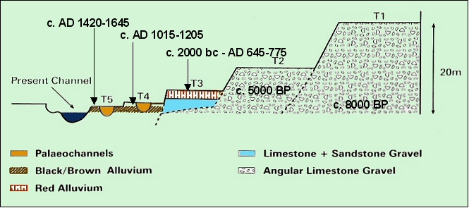
Research by the University of Leeds School of Geography dated the evolution of river terraces along the Wharfe near the project area, and identified a band of heavy metal contamination from historic mining activity in the area (Howard et al 1998). |
||||
 |

